September 26, 2026
In
Outdoor Edventures
Buller Mountain Hike
Where:
- Buller Pass
When:
- September 26, 2026
Who:
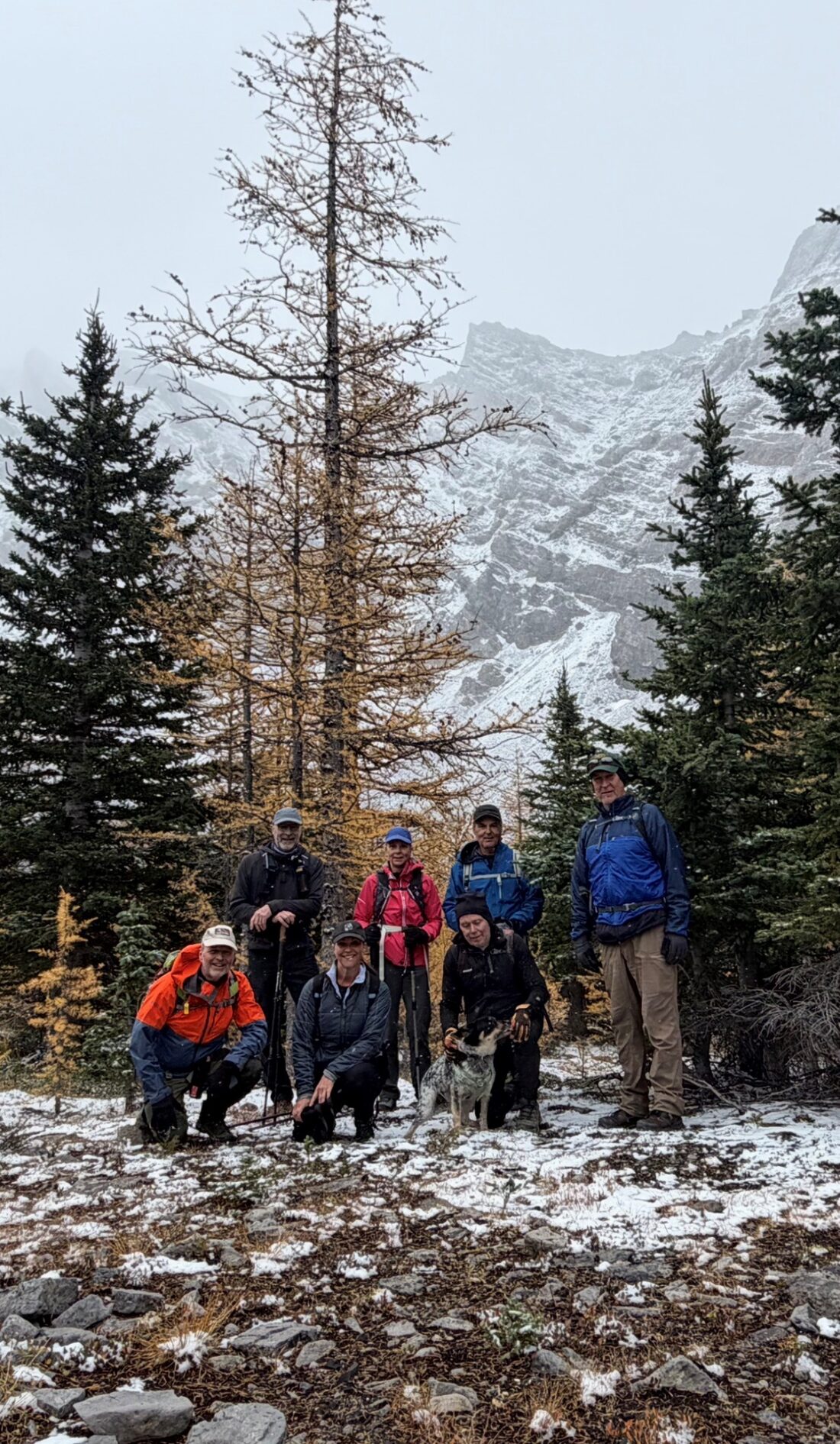
- Ed, Erin, Neil, Craig, Rod, Shonda, Dally, Janet, Dave
Trailhead:
- the trail starts at the Buller Mountain Day Use Area which is 30 km from Canmore on the Spray Lakes Road
- park on the entrance road to the day use area which is on the right (west) hand side of the road
- the trailhead is straight across the road on the east side
Degree of difficulty:
- 500 meters of elevation gain to the point where you exit the forest into the valley below Buller Pass
- 12 km distance return
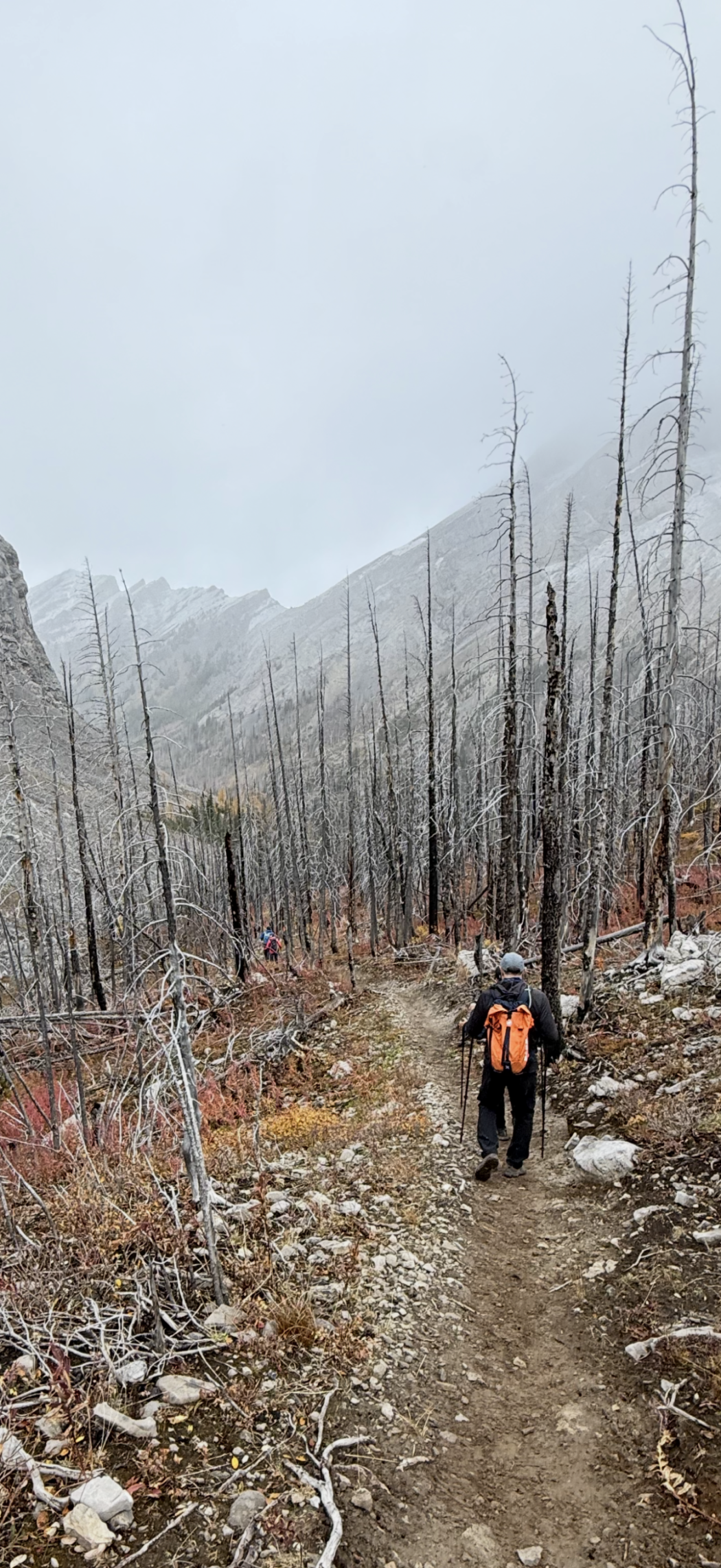
- the trail is relatively easy to follow although you have to be careful where it intersects the High Rockies trail in two spots near the beginning to turn right
- 4 km up the valley (just across the fourth bridge), you take the fork to the right to go towards Buller Pass
- the hike took us three and a half hours
Interesting notes:
- partway up the forested valley, there are several unique trees that have multiple trunks (still a mystery to me how they are formed)
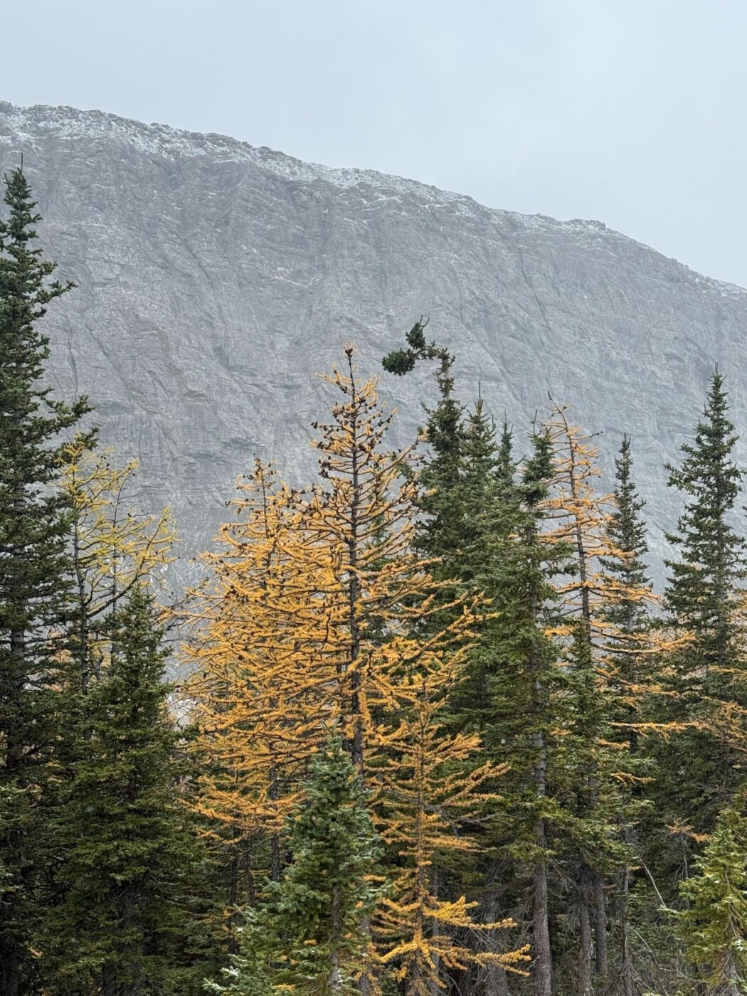
- we went in the prime of larch season and there is a decent amount although the snow and lack of sun muted their majestic appearance somewhat
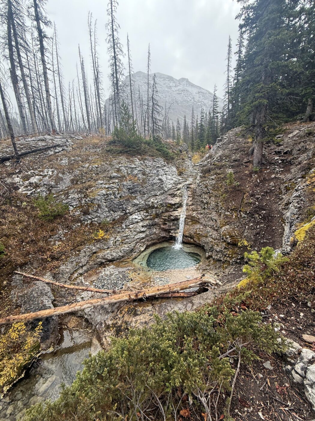
- as well there are several burnt areas throughout the hike that offer a cool stark contrast to the forested areas
- the views are tremendous once you break out of the forested area with Buller Mountain to the north and east and Mt. Engadine to the south
- at the pass, you look across the valley to Mt. Kidd and Guinn Pass, down to Ribbon Lake and Mt. Bogart off to the left (north)
- Buller Mountain is named after Herbert Cecil Buller, a WW1 casualty and member of the Princess Patricia’s Canadian Light Infantry