August 8, 2026
In
Outdoor Edventures
Galatea Lakes Hike
Where:
- Galatea Lakes
When:
- August 8, 2026
Who:
- Ed, Neil, Dave, Rod, Dally
Trailhead:
- a little over an hour drive from Calgary and a 45-minute drive from Canmore
- heading south on Highway 40 for 33 km, the parking lot is on the right-hand side of the road
Degree of difficulty:
- 800 meters elevation
- 16 km round trip to Lower Galatea Lake
- the hike took us five hours
- the first 6 km is a moderate climb until Lillian Lake, where the steep ascent starts for the next km
- at the end of the trail, there is a short hill back up to the parking lot that is a grind, given you’ve already hiked 16 km
Interesting notes:
- the initial forested part of the trail crosses several bridges along Galatea Creek where you witness the massive destruction from the 2013 flood
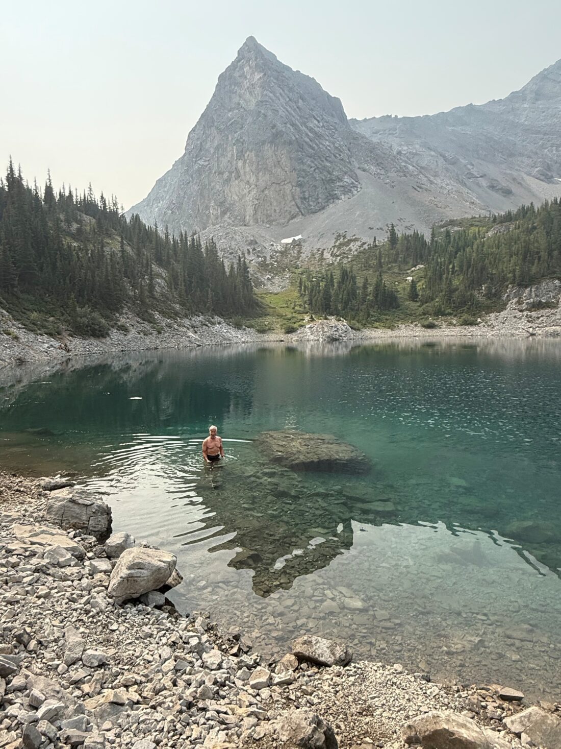
- there are some nice waterfalls and pools of water along the creek where one could do a cold plunge on the way out
- the first lake you come to is Lillian Lake which is quite picturesque with stocked fishing
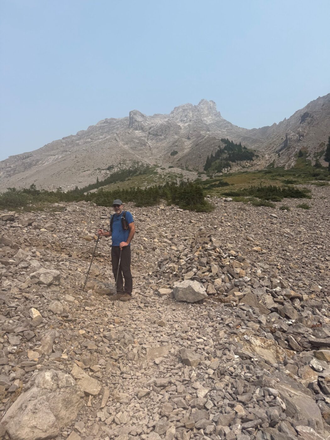
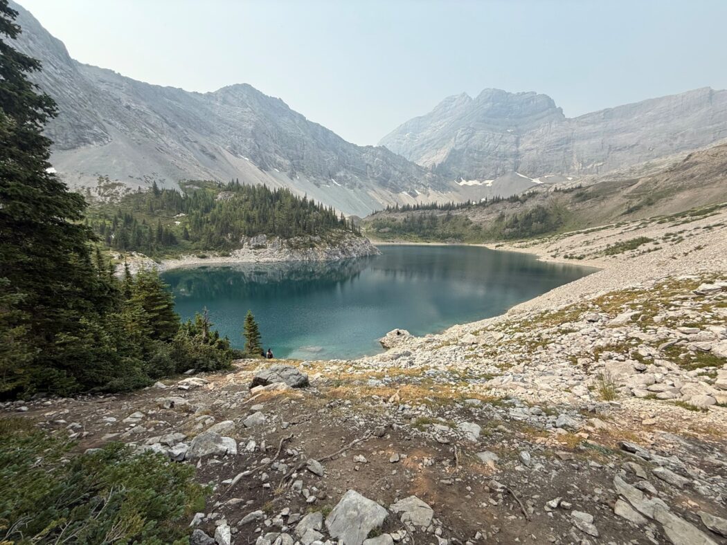
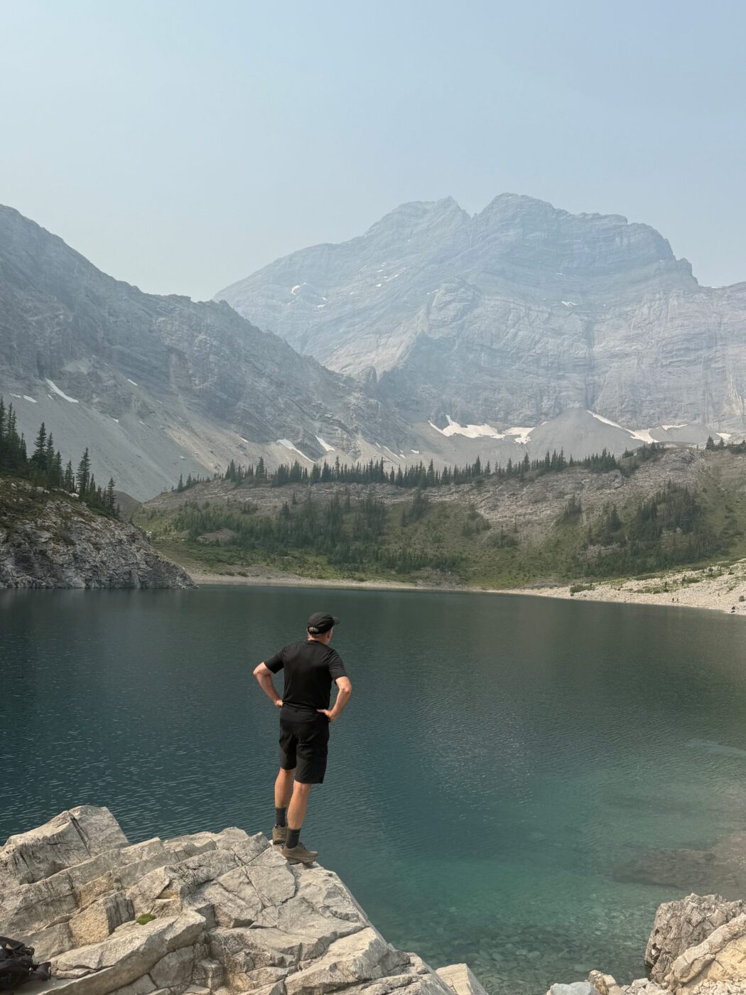
- the trail offers views of Limestone Mountain, Mount Kidd, The Tower, Mount Galatea, and Fortress Ridge
- this trail can also be used to access Lost Lake (no trail marking, so I didn’t see where it cuts off into this trail) and Guinn Pass/Ribbon Lake (the turnoff was moved from near Lillian Lake to just before Lower Galatea Lake)
- there is a campground at Lillian Lake with 17 campsites
- keep an eye out for the unique letter P-shaped tree on your descent near the end of the hike
- this can be a very busy trail as we passed 150 people on the descent
- Galatea is named after the Royal Navy cruiser HMS Galatea