August 7, 2025
In
Outdoor Edventures
Piper Pass Hike
Where:
- Piper Pass
When:
- August 5, 2025
Where:
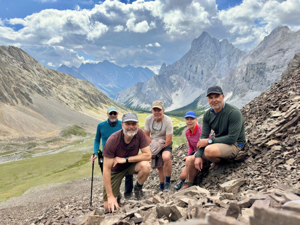
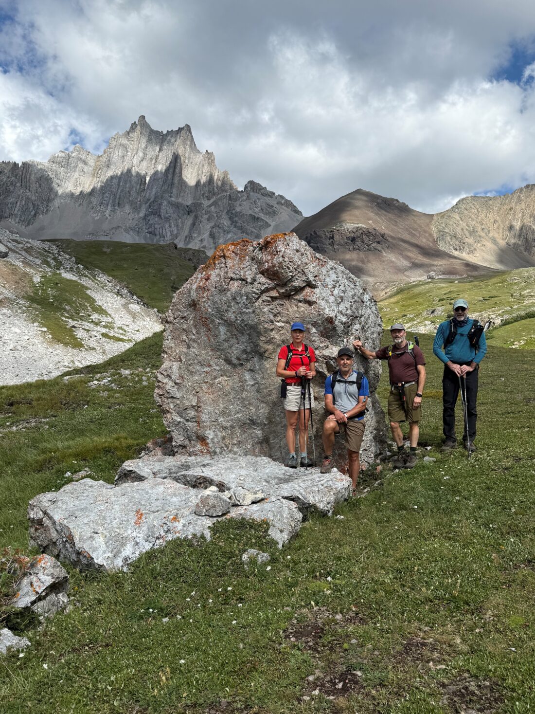
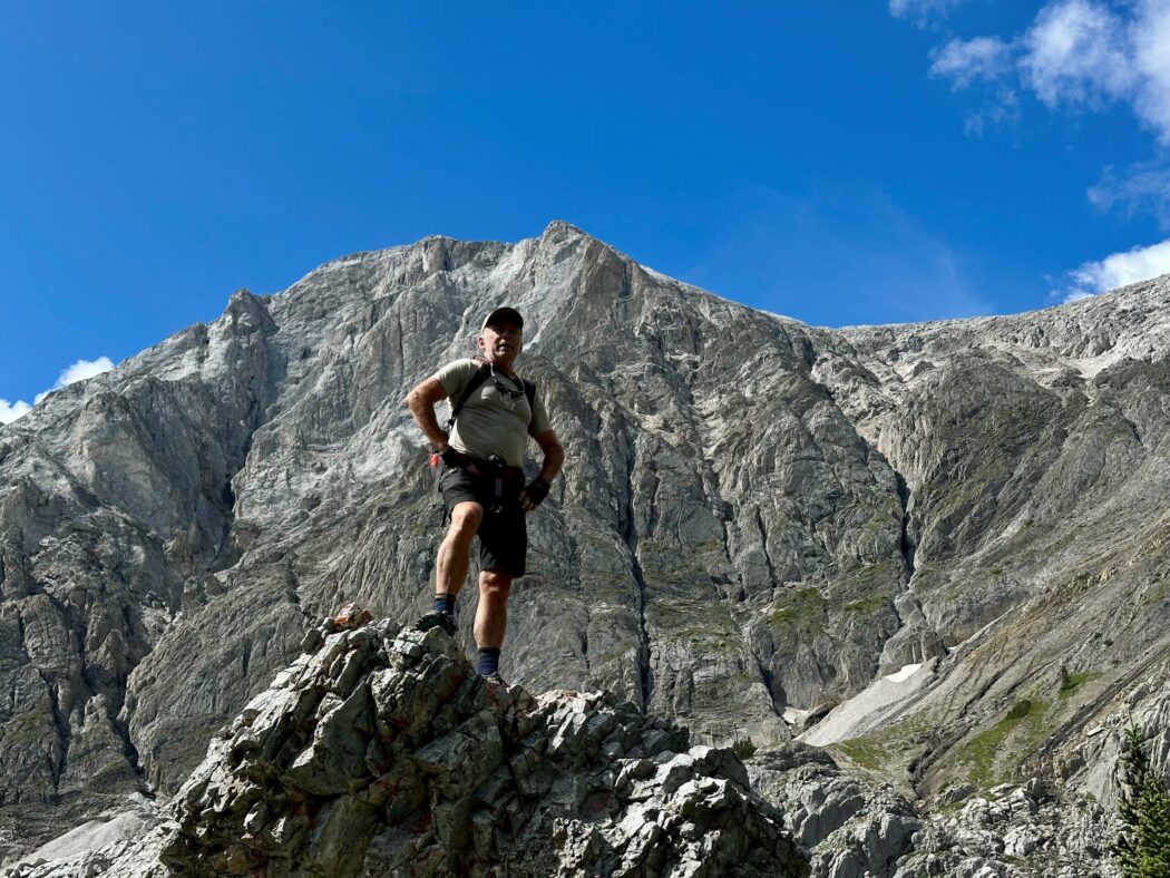
- Ed, Craig, Neil, Dave, Janet
Trailhead:
- on Highway 40, drive south from the Trans-Canada Highway for 62 km (50 minutes)
- the parking lot is on the left hand side of the road
- the trail starts behind the outhouse
- the turnoff (left) for Piper Pass is 1.4 km past the turnoff for Edworthy Falls and is marked by a cairn (we turned too early and ended up on a non existent trail despite it showing on AllTrails, so we had to backtrack, which added about an hour to our trip)
- it’s another 5 km to the pass
Degree of difficulty:
- 22 km
- 1000 meters
- 7 hours total time on the trail, given our wrong turn, so we could have done it in 6 hours
- it is a steady climb out of the parking lot for 1.6 km to Elbow Lake, where we pushed our bikes most of the way
- beyond Elbow Lake, it is relatively flat, and we were able to bike most of it other than a few rocky sections and some small water flows
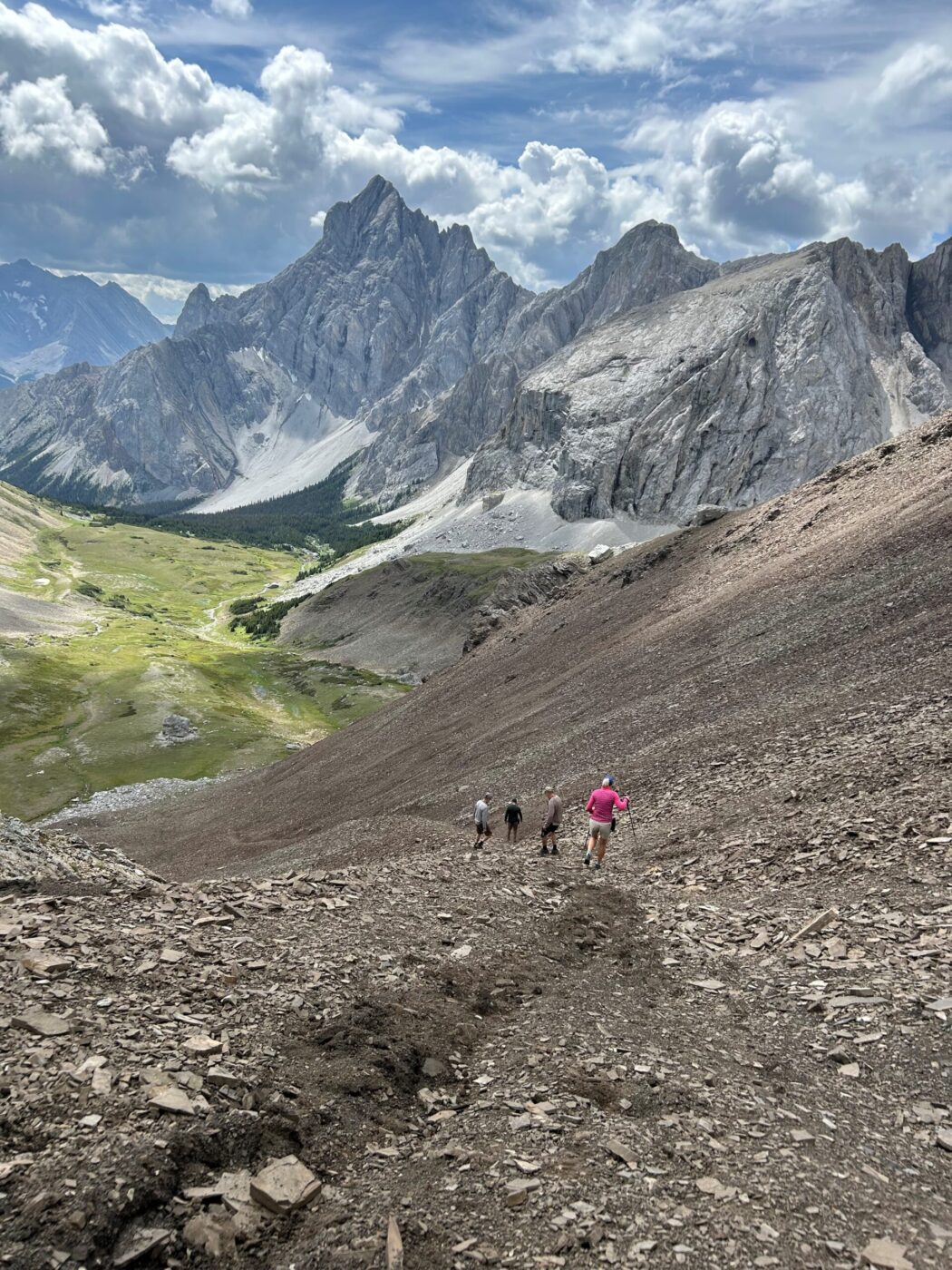
- after the turn off the main trail, you enter dense bush for 3 km before it opens up into an alpine meadow flanked by towering peaks
- once you clear the trees, you are heading for a giant boulder at the bottom of the dark colored scree slope in the distance
- the final ascent to the summit gains 200 meters of elevation over 500 meters of distance on a scree slope, so it required every ounce we had left in the tank and some motivational banter
- there are eight water crossings after you leave the main trail, but only the first one across the Elbow River requires water shoes
- we did part of the trip by mountain bike, which saved some time and effort, other than for Neil on his gravel bike
- this is the longest time and distance hike I’ve ever done but there is a gradual elevation gain until the final gruelling grunt up to Piper Pass
Interesting notes:
- the naming of Piper Pass is unknown but it may be named after Pipers cabin
- the trail can be quite busy up to Edworthy Falls and then it lessens significantly
- the alpine area is full of wildflowers in the spring and early summer as well as numerous mushroom patches
- there are beautiful views of Mt. Rae, Elpoca Mountain and Tower, Mount Burney, Mount Jerram, South Schee and Tombstone Mountains
- depending on the snow depth you might need to wait until July to do this hike
- you can also access this trail from Highway 66 west of Bragg Creek through the Tombstone Lakes area